
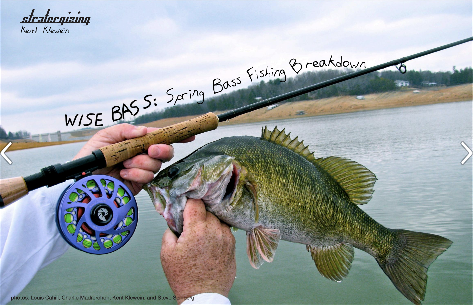
There’s tons of lakes readily available for fly fisherman to catch bass throughout the Southern Appalachian region. Unfortunately, these lakes aren’t your two-acre farm pond in your backyard or subdivision that you grew up fishing as a kid—they’re multi-thousand acre reservoirs that can be extremely challenging to learn how to fly fish.
Fly fishing reservoirs starts with fishing the correct areas.
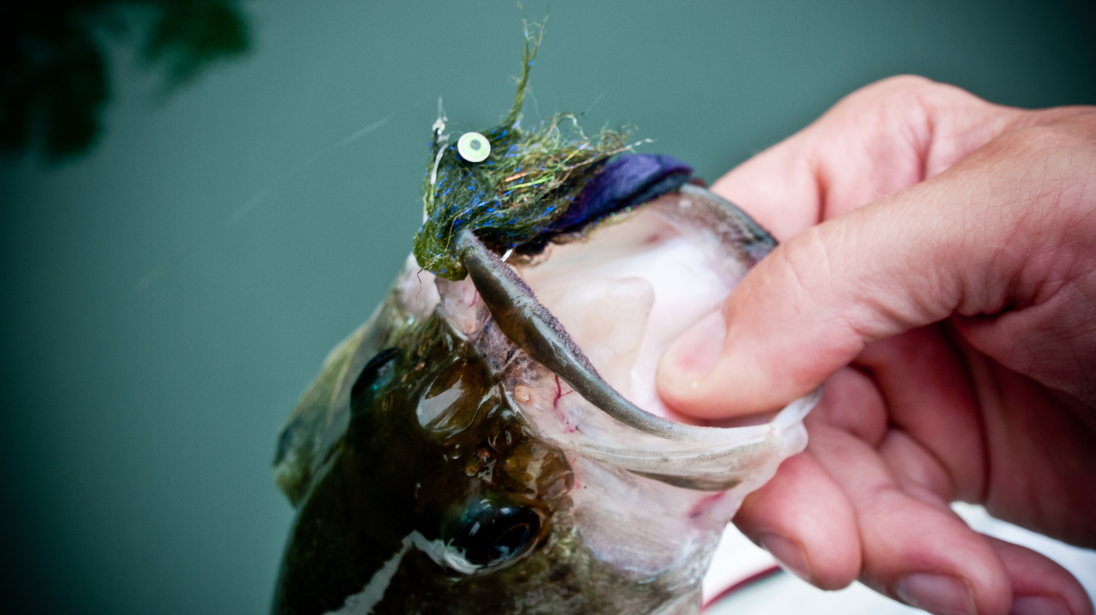
Fly fishing for bass on public reservoirs is much like trying to find a needle in a haystack. If you don’t have a general idea of where the needle is located, your chances of finding it are slim tom none. To be successful fly fishing lakes, you’ll have to quickly be able to eliminate areas of the lake where the bass aren’t located and then narrow your focus to small areas of the lake that provide bass what they need. Bass need the following: suitable habitat, satisfactory food and comfortable water conditions (water temperature & water depth). All these change depending on the season. In our case, we’ll be focusing on what bass need during the spring. Just like in trout fishing, bass fishing is all about bypassing unproductive water and spending your time fishing the productive water. Eighty percent of the bass on the lakes will be found in 20 percent of the water. If you want to catch them, you’ll need to maximize your time fly fishing the correct water.
A quality map of the lake is critical.
Keep in mind, all maps aren’t created equal (and many are total crap). The map you want to buy needs to have enough detail on it that you can get a clear picture of what the lake looks like underwater and what types of cover it has. Specifically, the map needs to show good contour lines from the shoreline, out into the main river channel. Contour lines are also referred to as break lines and they show you depth change. Ideally, you want a map that shows five foot break lines, ten-foot minimum. Anything less than that and you really won’t have enough information to locate hot spots to start looking for bass, come spring. For quality lake maps for the Southern Appalachian region go to www.maps.tva.com
Study your lake map before you hit the water. Locate your main points, prime humps, flats and creek channel mouths that are located close to spawning grounds. Once you find those, search out spots where the break lines are close together. These are areas that should have lots of food, plenty of structure and a wide range of depth. The farther away break lines are from each other on a map, the longer the distance between depth change. Bass like areas in a lake where they can quickly change their depth without having to travel long distances. Bass are naturally drawn to these niche areas because they can make quick position adjustments to stay in the most comfortable water. It’s exactly like trout preferring to hold in areas that have the three C’s (cover, cuisine and current protection). Bass are no different.
Spring is a transition period for bass.
Spring brings longer days and rising water temperatures. This encourages bass to move up from their deep water winter sanctuaries into shallower water to follow their forage food and scout out spawning grounds in preparation for reproducing. The entire process of spawning requires an insane amount of energy for bass, and they’re forced to build up large fat reserves to keep them from starving and successfully reproducing. The key reason spring is one of the best times of the year for fly fisherman, is because bass are moving into shallower water and their feeding activity significantly increases. You’ve got opportunistic feeding bass located at depths where you can present your fly to them effectively.
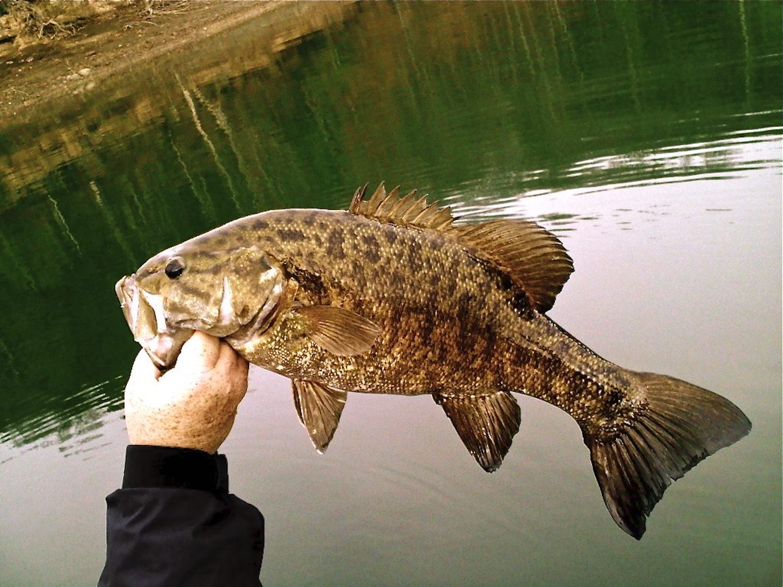
Although spring is great all around for chasing bass on the fly, the best time by far is during the pre-spawn. This is the period where the bass are staging around the spawning grounds before they get on the beds. It generally lasts four to five weeks and can be timed by paying close attention to the water temperature on your lake. Spotted and smallmouth bass go into pre-spawn when water temperatures hover around 53-55 degrees and spawn around 57-58 degrees, while largemouth bass postpone their pre-spawn until water reaches 62-64 degrees and spawn around 65 degrees. Once the bass get on the beds, fishing is more conducive to conventional tackle. However, if your lake has all three species of bass, you can keep the fishing hot by starting out targeting the spots and smallmouth pre-spawn and then switch to targeting largemouth. This way you’re able to capitalize on the peak periods of fishing during the pre-spawn for all species. Tip: Largemouth go on the bed when the dog woods start to bloom.
Locating bass in the spring.
A mentor of mine once told me, “bass live deep and feed shallow.” It doesn’t hold true 100 percent of the time, but the majority for sure. When bass feed, they usually move up into shallower water to do so, and they do it in the spring primarily, because that’s where (and when) the most food is located in the lake. If you want to get really technical about where to look for bass, fly anglers should focus on areas of the lake that get the most sun and heat up the fastest in the spring.
On really large lakes this will likely be the north side. That’s where the sun will shine on the water for the longest period of the day. Next, anglers want to look for rocky areas with large chunk rock. The rock absorbs the suns energy, and in turn, heats up the water faster than in other areas of the lake. On most of our Southern mountain lakes, rock is pretty easy to find. Unfortunately, not all rocky areas of the lake will hold equal bass numbers. Focus your efforts on fishing long rocky points tapering into deep water and rocky humps and flats adjacent to deep water on the main lake. That’s where you’re going to find your spots and smallmouth.


